If you’re in the process of considering a land purchase or have recently acquired a property, understanding the intricacies of a land survey is paramount. A land survey is more than just a document; it’s a crucial tool for property owners, homebuyers, and developers.
In this extensive guide, we will delve into the world of land surveys, exploring various types, their purposes, costs, and why they are essential in different scenarios.
What Is A Land Survey? Why Would I Want One?
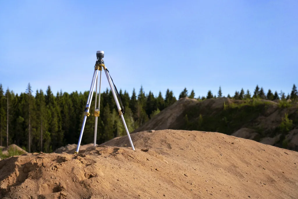
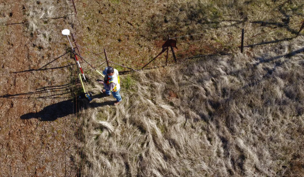
A land survey is the measurement and mapping of land features for various projects. It’s essential for legal description, construction, and development. In a rapidly changing landscape, land surveys play a vital role in safeguarding public and private interests.
Whether you’re a property owner or planning to buy land, understanding and obtaining a land survey is a wise investment in ensuring the accuracy and legality of your property lines and land boundaries.
Types Of Land Surveys

1. ALTA SURVEY
An ALTA (American Land Title Association) survey is a comprehensive examination of a property’s physical and legal features. Sometimes required during property transactions, this survey provides detailed information used for title insurance purposes. Lenders often demand an ALTA survey or mortgage survey before financing a property, making it a crucial step in the home-buying process.
2. BOUNDARY SURVEY
A boundary survey is fundamental for establishing the exact location of property boundaries and corners. Property owners often seek this survey to settle legal disputes, identify easements, or for personal record-keeping. Knowing the precise limits of your property can prevent potential conflicts with neighbors and ensure a clear understanding of your land’s dimensions.
3. LOCATION SURVEY
Similar to a boundary survey, a location survey includes information about site improvements. This survey not only outlines property boundaries but also provides details about the size and location of structures on the land. It is commonly used when applying for zoning permits, giving local authorities a comprehensive view of proposed developments.
4. SUBDIVISION SURVEY
Subdivision surveys play a pivotal role in dividing a parcel of vacant land into multiple lots. This survey is essential for property developers and those looking to create subdivisions. The results of a subdivision survey are often used to generate subdivision plats, which must be filed in the land records with the recorder’s office.
5. SITE-PLANNING SURVEY
When planning for the development of a property, site-planning land surveying is indispensable. This survey incorporates the proposed building or improvement within the context of a boundary survey. Property owners use site-planning surveys to obtain building permits and ensure that their development aligns with local regulations.
6. CONSTRUCTION SURVEY
Construction surveys involve the physical staking out of planned structures and improvements on the property. Surveyors use this method to guide construction workers on where to build and maintain accurate distances between planned improvements. It is a crucial step in the construction process, ensuring that the project aligns with the intended design.
7. TOPOGRAPHIC SURVEY
Topographic surveys provide a detailed representation of both natural and man-made features on a property. These features may include buildings, fences, utilities, ponds, rivers, trees, and elevation changes. Engineers and architects often rely on topographic surveys to plan site improvements and ensure that buying vacant land is suitable for its intended use.
How Much Does A Land Survey Cost?

Understanding the cost of a land survey is essential for budgeting and planning purposes. The price of a survey can vary based on factors such as the type of survey, the size and shape of the property, and the surveyor’s travel time. On average, most land surveys cost between $400 and $1200, with the typical cost falling around $650. Keep in mind that rural and raw land properties often are on the higher end of the spectrum due to location and access.
The cost of an ALTA survey is relatively higher due to the additional work involved in researching relevant documents and providing more detailed information. On average, an ALTA survey can range between $2,400 and $3,500. It’s crucial to note that these costs are averages across the United States, and regional variations can significantly impact survey expenses.
For properties with more significant acreage or more complex boundaries, the cost of a land survey may increase. Land Surveyors consider factors such as terrain, vegetation, and accessibility when determining the overall cost. Potential buyers and property owners should be prepared to factor in survey costs when budgeting for land transactions or development projects.
The Importance of Accurate Property Surveys

Accurate property surveys are foundational to responsible land ownership and development. Here are some key reasons why accurate surveys matter:
1. LEGAL COMPLIANCE
Property surveys ensure that land developments comply with local zoning laws and regulations. This compliance is essential for obtaining permits and avoiding legal issues in the future.
2. BOUNDARY DISPUTES
Property boundaries are a common source of disputes between neighbors. Accurate surveys provide an objective and legally recognized reference point for resolving boundary disagreements.
3. EASEMENTS AND RESTRICTIONS
Property Survey identifies easements and restrictions that may impact the use of the land. Knowing about these encumbrances in advance allows property owners to make informed decisions about their property.
4. TITLE INSURANCE
Title insurance companies often require a current survey before issuing a policy. An accurate survey provides the necessary information to identify any issues that may affect the property’s ownership.
5. PROPERTY VALUE
Accurate surveys contribute to a property’s overall value. Buyers and sellers can make informed decisions based on precise information about the property’s boundaries and features.
At Wallysells.com, we prioritize transparency and accuracy in providing information about our rural properties. While we provide GPS coordinates for reference, we strongly emphasize the importance of professional land surveyors to determine precise boundaries prior to development on the property.
A land survey guarantees accurate property limits, which is crucial for making informed decisions about your investment. While GPS coordinates may provide a general location within several feet, a survey conducted by a licensed professional land surveyor ensures precision and adherence to legal standards.
Visit Wallysellsland.com today to explore a wide range of rural properties and find your perfect slice of paradise. Our team is dedicated to providing accurate information and assisting you throughout the land-buying process.
Conclusion:

In essence, a land survey isn’t just about buying land; it’s a vital step in responsible land ownership. From understanding legal boundaries to assessing development risks, a survey ensures a comprehensive view of your property.

